The baltic sea
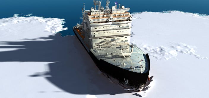
The Baltic Sea is unique with its low salinity (1/5 of the oceans) and shallow waters (54 m average depth). As a consequence of its high latitudes, the Baltic Sea has at least partial ice cover during the winter. Due to the low salinity (brackish water), shallow waters, and the fact that the Gulf of Bothnia is relatively narrow, the water freezes at just below 0 C which means ice breakers are needed to keep the narrow fairways to ports open and assist vessels when navigating in the seasonal ice.
The seasonal ice is most predominant between January and March and the conditions vary depending on temperature, wind, and sea bottom topography. Ice formation starts from the northern part of the Gulf of Bothnia and from the eastern part of the Gulf of Finland. During a normal winter the entire Bay of Bothnia, the Gulf of Finland, and the northern part of the Baltic Sea are covered by sea ice.
The measured maximum level of ice thickness in the northern Gulf of Bothnia is between 1.2 – 2.0 m and in the eastern Gulf of Finland up to 3.0 m.
Ice ridges

For information and details see the Further Information links:
- Baltic Icebreaking Management
- Finland’s Winter Navigation
- Winmos II- developing the maritime winter navigation systems
- Daily Ice Chart
- Baltic Sea Ice Service
- HELCOM Recommendation 25/7
- Arctia
- Swedish Maritime Administration
Sources:
The Ice Navigation and Seamanship Handbook, Witherbys 2019
Interview; Captain Tommy Berg, Arctia Shipping 2021-2022


